Services
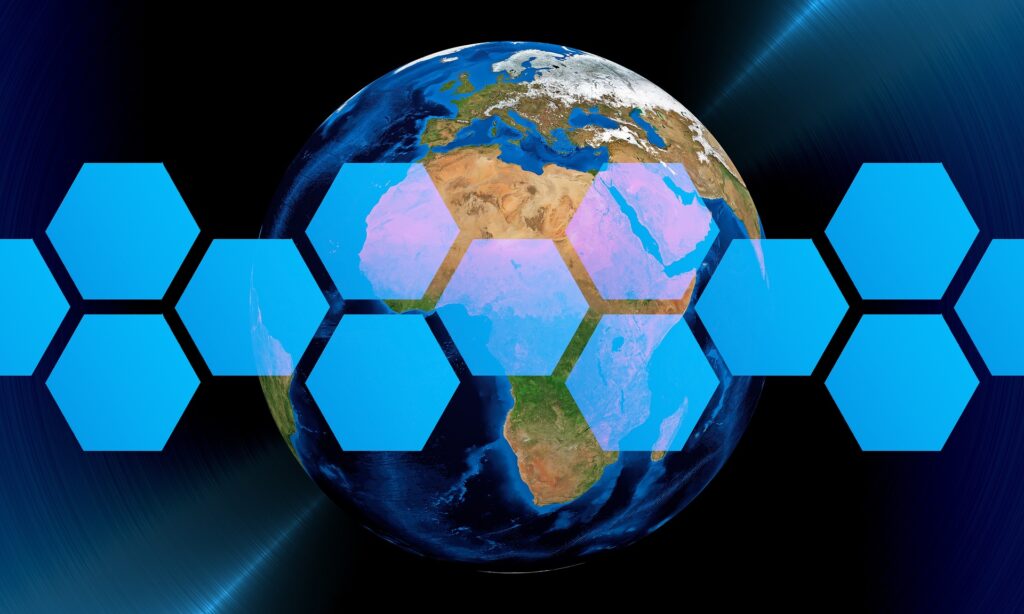
Unlock the untapped potential of
geospatial data
Our comprehensive range of geospatial solutions equips businesses with the necessary tools and expertise to solve complex problems and make informed decisions. From custom application development and data management to seamless integration and tailored training programs, we provide end-to-end services that are designed to meet your unique needs. Harness the power of geospatial technology and elevate your business to new heights with TETRAGIS
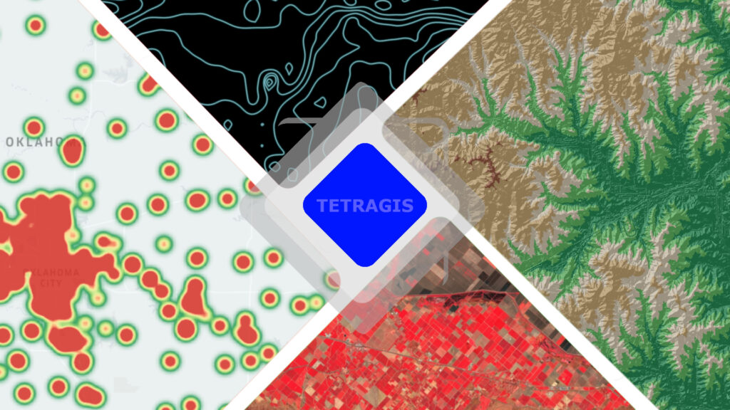
OUR SERVICES
Advanced Geospatial Solutions and Analytics
Custom Geospatial Analysis: Our team specializes in providing customized solutions through geospatial analysis. We offer services that cater to diverse challenges, including site suitability analysis for new businesses, route optimization for logistics operations, and assessment of environmental impacts for sustainable development.
Spatial Data Processing: Our expertise extends to analyzing population distribution for urban planning, identifying hotspots for disease outbreaks in public health, field boundary mapping and assessing crop monitoring using remote sensing and GIS data, and analyzing land cover changes for natural resource management.
Geospatial Modelling: We develop sophisticated geospatial models that allow for simulating real-world scenarios. Our modelling services enable you to predict wildfire spread patterns, simulate flood risk in coastal areas, optimize resource allocation for disaster response, and even evaluate the potential impacts of urbanization or climate change on your region.
Satellite Image Processing: Our proficiency in satellite image processing helps extract valuable information for various industries. We specialize in monitoring crop health and optimizing agricultural practices, mapping and monitoring watershed conditions, assessing deforestation and land use changes, and even analyzing coastal erosion for better coastal zone management.
Geospatial Analysis Training Programs
Geospatial Analysis Mastery : We provide comprehensive training programs to enhance your geospatial analysis skills and capabilities using industry-leading software such as ArcGIS and QGIS. Our courses cover a wide range of topics, including geospatial data analysis and visualization, geostatistical modeling, 3D geospatial data analysis, network analysis and routing, spatial data processing, geodatabase management, and cartographic design. With the guidance of experienced instructors, you will engage in practical exercises and real-world applications using ArcGIS and QGIS, helping you develop a strong foundation in GIS and advance your analytical capabilities.
Remote Sensing and Image Analysis: Our training programs in remote sensing and image analysis focus on utilizing satellite and aerial imagery for extracting valuable information. Participants will learn techniques for image preprocessing, image classification, change detection, object detection, and land cover mapping. We cover popular remote sensing softwares and cloud platforms such as ArcGIS, QGIS, EO Browser, and Google Earth Engine, providing hands-on experience in analyzing and interpreting remote sensing data.
Spatial Scripting Skills Development: We deliver specialized training programs focused on developing spatial scripting abilities crucial for geospatial applications. Our training includes Python scripting for geospatial purposes, optimizing workflows in ArcGIS through ArcPy, executing spatial analysis operations using R programming, and employing Google Earth Engine for remote sensing studies. These programs enable participants to acquire vital scripting skills and apply them across different platforms.

Geospatial Research Support and Project Guidance
Research Planning and Design: Our team of experts will work closely with you to develop a comprehensive research plan for your geospatial academic project. We will help you define research objectives, formulate research questions, and design an appropriate methodology for data collection and analysis. By leveraging our expertise, you can ensure that your project is well-structured, feasible, and aligned with academic standards.
Spatial Data Acquisition and Processing: We will assist you in acquiring relevant spatial data for your project, whether it involves satellite imagery, aerial photos, or geospatial datasets. Our team will guide you in data preprocessing, ensuring data quality, and transforming data into suitable formats for analysis. We have experience working with a variety of data sources and can help you navigate challenges related to data acquisition and preparation.
Geospatial Analysis and Modeling: Leveraging advanced geospatial analysis techniques and modeling approaches, we will support you in conducting in-depth spatial analysis for your academic project. Whether it involves spatial statistics, spatial interpolation, network analysis, or geostatistical modeling, our team will provide guidance and hands-on assistance in implementing the most suitable analytical methods for your research objectives.
Interpretation and Visualization: Once the analysis is complete, we will help you interpret the results and derive meaningful conclusions from your geospatial data. Our experts can assist you in generating informative visualizations such as maps, graphs, and charts to effectively communicate your findings. We will ensure that your results are presented in a clear and visually appealing manner, enhancing the impact and credibility of your academic project.