Admin

GEO visualization – GIS day 2022

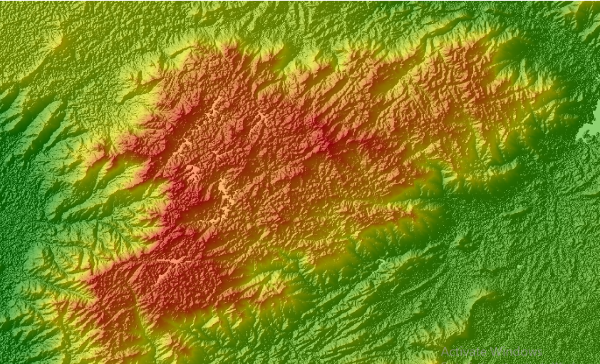
Our planet, Earth, is unique in our known universe. As the only planet with water and life, it is a remarkable and beautiful place. From lush forests to towering mountains, sprawling deserts to frozen glaciers, deep oceans to remote islands, and explosive volcanoes, the geography of Earth is truly awe-inspiring. Throughout history, humans have been …

GEO visualization – GIS day 2022 Read More »

Exploring Geospatial Data with Kepler.gl

  “The power of data visualization is that, it can generate clear and actionable insight from datasets, even complex in nature.” Introduction Geospatial technology refers to all the technologies used to collect, store, visualize, and analyze data that is referenced to a location. In geospatial technology, data visualization plays a more prominent role than any …

Exploring Geospatial Data with Kepler.gl Read More »

Download SRTM DEM Using Google Earth Engine Explorer

A Digital Elevation Model (DEM) is a 3-dimensional representation of the elevation of a terrain, usually in raster file format. DEM can be used for various purposes such as hydrological modeling, terrain visualization and analysis, engineering and infrastructure designs, and more. Some of the most commonly used freely available DEMs are ASTER GDEM and SRTM …

Download SRTM DEM Using Google Earth Engine Explorer Read More »