Our planet, Earth, is unique in our known universe. As the only planet with water and life, it is a remarkable and beautiful place. From lush forests to towering mountains, sprawling deserts to frozen glaciers, deep oceans to remote islands, and explosive volcanoes, the geography of Earth is truly awe-inspiring. Throughout history, humans have been fascinated by our world and have discovered that maps can help us understand it better. Maps have been created on cave walls, mammoth tusks, and clay tablets, and cartographers have used a range of technologies to develop the Geographic Information System (GIS).
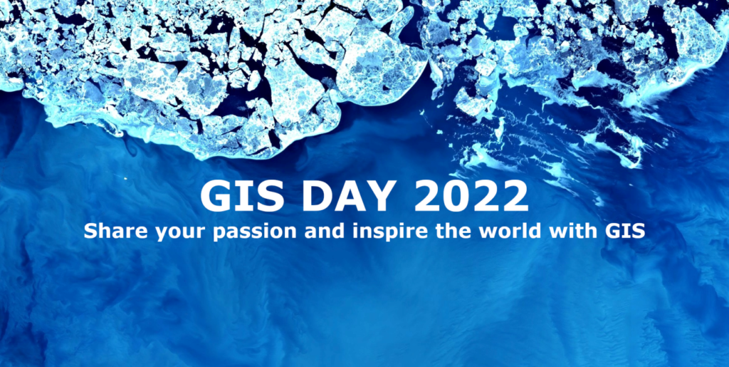
As we celebrate GIS Day in 2022, a day to honour those who share our passion for our planet and the art of cartography, we are proud to share our latest efforts to create stunning map visualizations. Our aim is to join the celebration and showcase the power of GIS technology in transforming complex data into informative and beautiful maps.
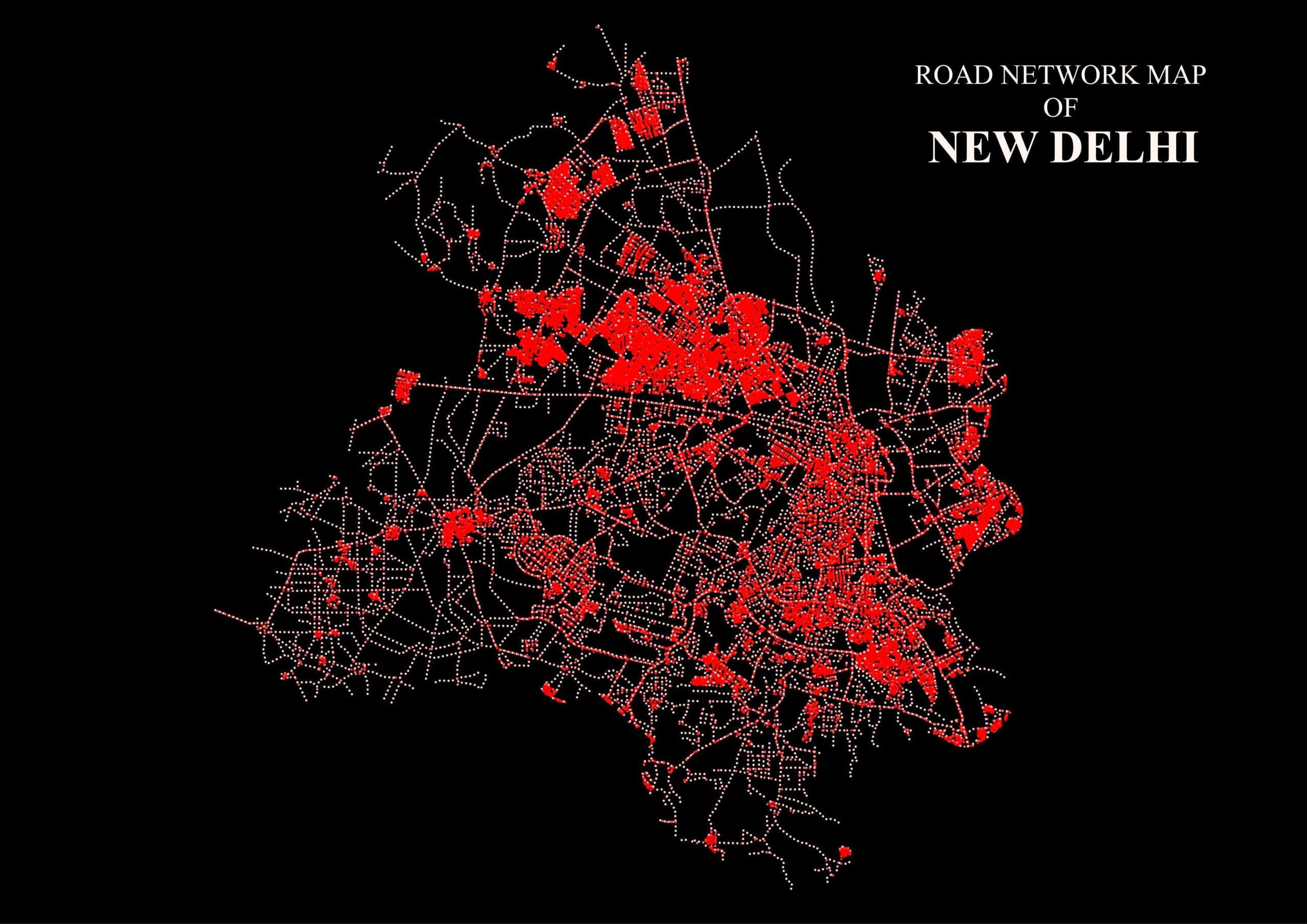
1. Road Network Map of New Delhi, India
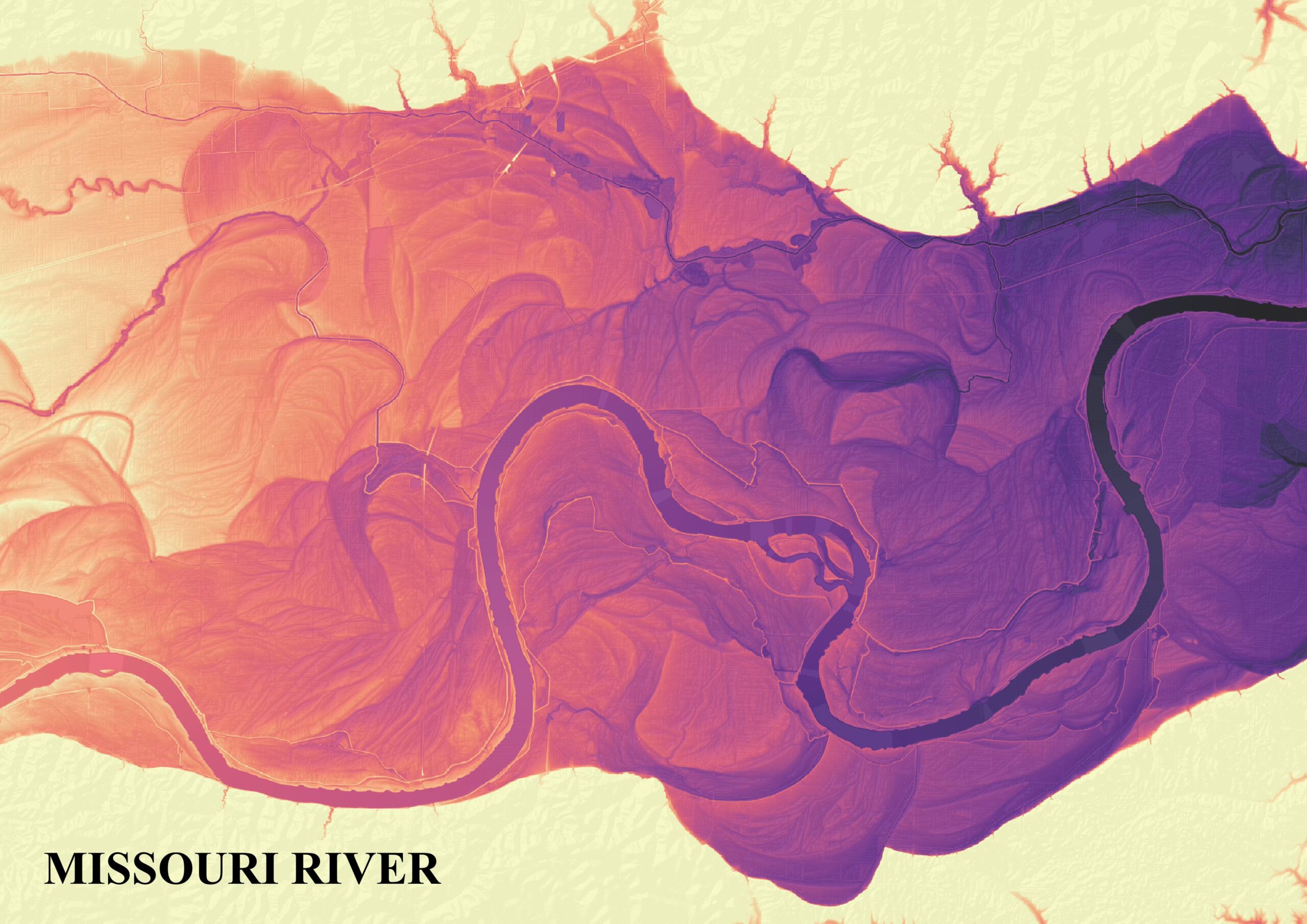
2. Relative Elevation Model (REM), Missouri River, USA
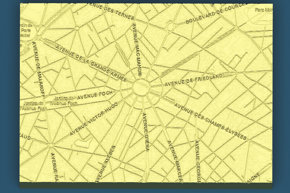
3. Clay Map – Arc de Triomphe, Paris, France
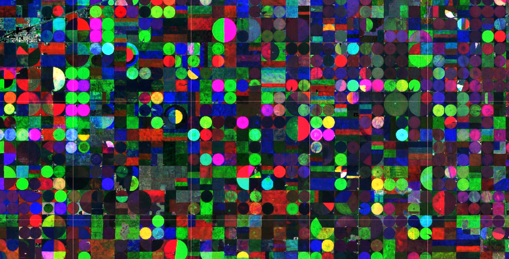
4. NDVI – Time series RGB Composite, Kansas, USA
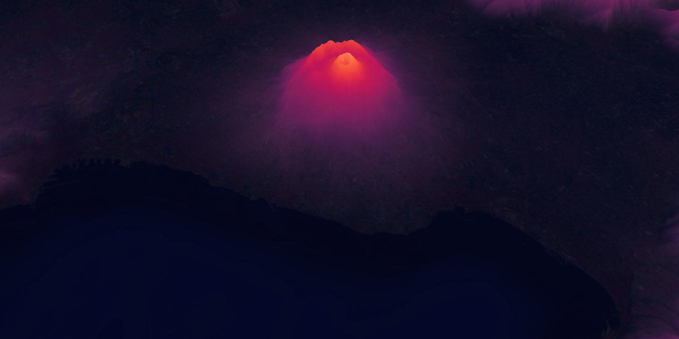
5. Mount Vesuvius, Italy, A Night View
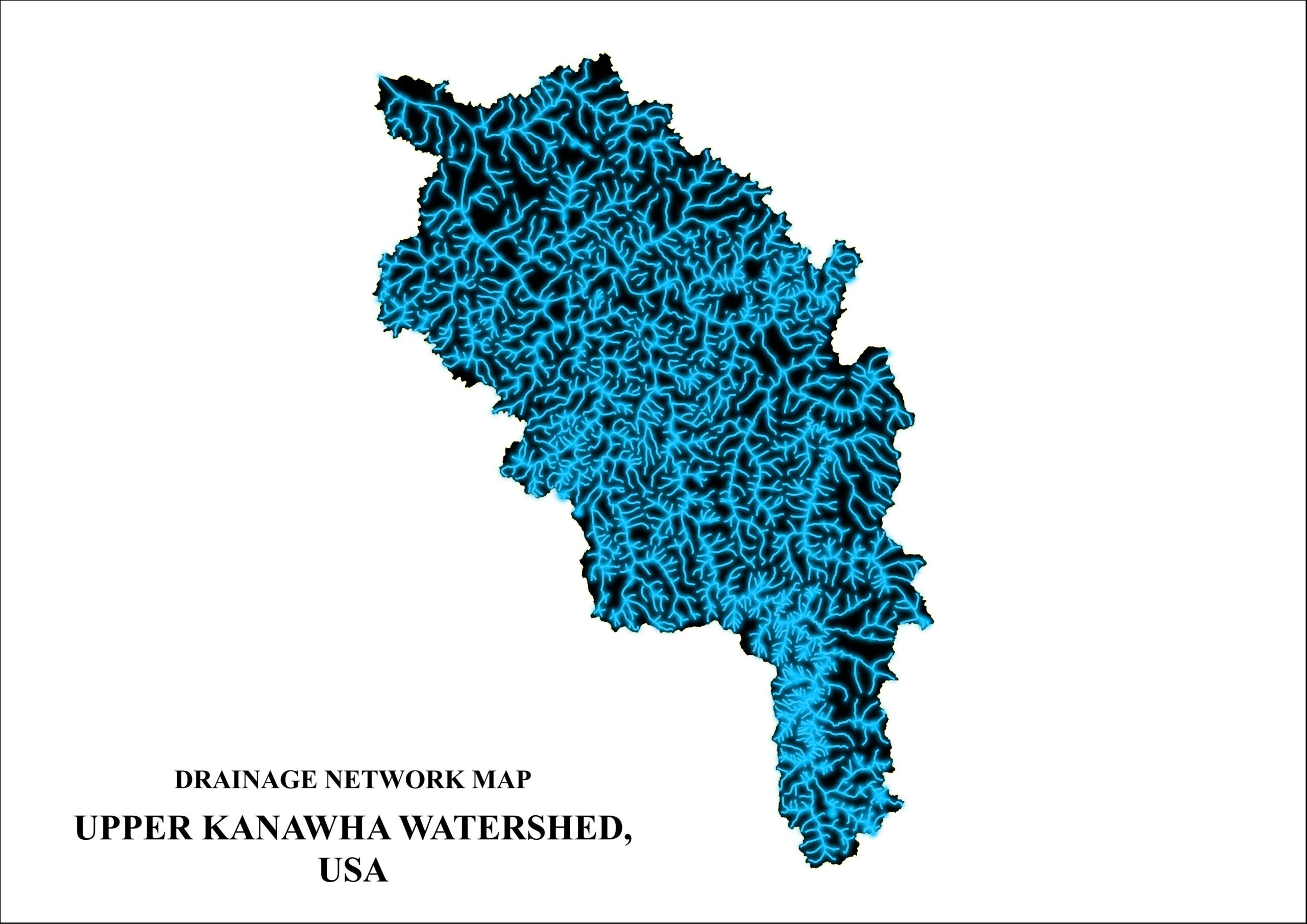
5. Upper Kanawha Watershed, West Virginia, USA
Thank You
Good