Download SRTM DEM Using Google Earth Engine Explorer
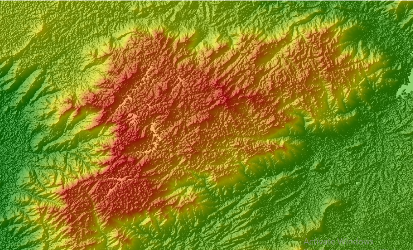
A Digital Elevation Model (DEM) is a 3-dimensional representation of the elevation of a terrain, usually in raster file format. DEM can be used for various purposes such as hydrological modeling, terrain visualization and analysis, engineering and infrastructure designs, and more. Some of the most commonly used freely available DEMs are ASTER GDEM and SRTM […]
Download SRTM DEM Using Google Earth Engine Explorer Read More »